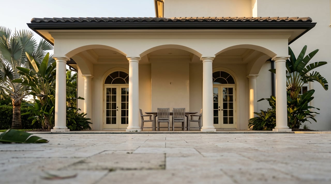
Most Weston residents know the city parks. They have ridden the loops at Weston Regional Park, walked the lit paths at Library Park, watched their kids play at Tequesta Trace. What they have not done is follow any of those paths to their logical end — which, if you keep going west and then north, is the Everglades.
That is not a figure of speech. From a Weston trailhead you can connect, without loading a car, to a paved greenway network that runs 48.4 miles from Parkland to Miramar, passes five distinct access points, and terminates at Everglades Holiday Park. The city's 245 acres across 15 parks are built for daily life. The greenway chain beyond them is built for the kind of Saturday morning you remember.
Here is how it connects, what is closed right now, and the one stop most riders blow past without knowing what they are standing on.
What Weston Built for Getting Started
Visit Florida counts more than 50 miles of marked bicycle lanes and trails winding through the city. That number includes the on-street lanes, the paved connectors between communities, and the paths through the larger athletic parks. For most residents it is enough. Weston Regional Park, Tequesta Trace Park, Vista Park, and Indian Trace Park each offer enough pavement to run a solid thirty minutes without doubling back.
The city also installed Bike FixIt Repair Stations at strategic points throughout the park system — a quiet signal that it expects riders to arrive with flat tires and leave with plans to return. If you have never noticed them, check near the main restroom facilities at the larger parks.
One current note worth knowing before you plan anything: Windmill Ranch Park is closed for construction improvements from September 2, 2025 through June 2026. If Windmill Ranch was part of your usual loop, this is the season to route elsewhere — and the greenway chain described below is the obvious substitute.
March through May is the best riding window in South Florida. Temperatures are mild, the afternoon storms of summer have not started, and humidity is low enough that a two-hour ride does not require a change of clothes at the turnaround. If you are going to do the full chain, do it now.
The Connection Point Most Riders Miss
Weston's internal paths are well-signed. The greenway connection is not. It requires knowing that the New River Greenway exists and that it touches Weston's western edge.
The New River Greenway runs as two paved sections alongside the New River canal. The longer section stretches 7.5 miles between Markham Park and South University Drive. The shorter section picks up west of the Florida Turnpike and runs 4 miles to Southwest 22nd Terrace. Together they form the connective tissue between Weston's city network and everything to the west.
From Weston Regional Park, experienced riders can reach the New River Greenway within a few miles by following the paved connectors west. Once you are on the greenway proper, the ride changes character immediately. The path runs alongside the canal, the residential density drops, and you are moving through a corridor that feels nothing like a city park.
Markham Park Is Not What You Think It Is
Most Weston residents know Markham Park as the place in Broward County with the campground and the model airplane field. That is not the Markham Park that 1,020 AllTrails reviewers gave 4.6 stars.
The mountain bike system at Markham is a separate world tucked inside the county park. It offers 10 miles of trails organized by difficulty — beginner, intermediate, advanced, and adaptive — plus multiple jump parks and a surface packed with sand, coral rock, and occasional roots. For a county in which the highest natural elevation is a landfill, this counts as technical terrain.
The New River Greenway passes Markham Park directly. You do not need to drive. You ride in off the greenway, spend as long as you want on the trail system, and leave the same way. For residents who have only ever ridden Weston's flat paved paths, the Markham trails are not a progression — they are a different sport entirely.
What the Levee Opens Up
West of Markham, past the park entrance, the Conservation Levee Greenway begins. It runs 48.4 miles from Parkland in the north to Miramar in the south, following the Everglades levee system with five trailheads: Loxahatchee National Wildlife Refuge, Atlantic Boulevard at the Sawgrass Expressway, Everglades Recreation Park, Markham Park, and Everglades Holiday Park.
The terrain here is different from anything inside Weston's city limits. It is wide, largely exposed, and flat in the way that only land bordering a wildlife refuge is flat — which is to say it does not feel suburban, it feels like the edge of something much older. Riders report seeing horses at nearby farms from the Hiatus Road Greenway connection, herons in the canals, and the kind of silence that does not exist anywhere inside the Sawgrass Expressway.
To connect from the Conservation Levee south loop, the Hiatus Road Greenway feeds in from the east — 6 miles of smooth, wide concrete path along the C-42 Canal, connecting at its southern end to the New River Greenway and at its northern end to Welleby Park, where you will find restrooms and a playground. Inline skaters have found this stretch particularly good. The expansion joints are tight, the surface is close to frictionless, and on weekday mornings you may have it mostly to yourself.
The Broward County greenway system that ties all of this together was designated a priority in 1999, and the corridors — Cypress Creek, Conservation Levee, New River, Flamingo Road, Hiatus Road — have been built out in sections ever since. The full chain exists. It is simply not marketed to Weston residents as a single thing.
The One Stop Worth Slowing Down For
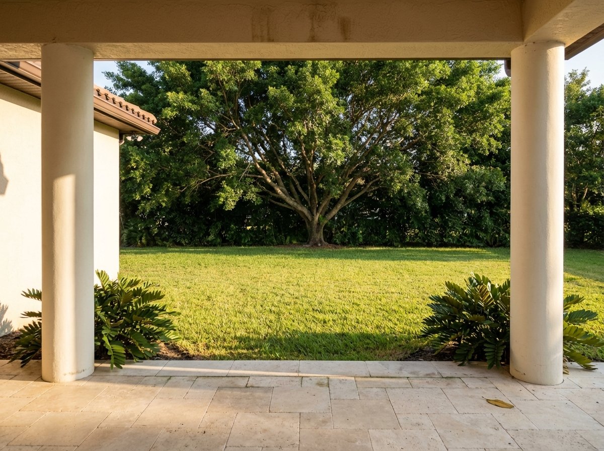
Most riders pass Peace Mound Park without looking twice. It sits on North Lake Boulevard, shaded, quiet, small. The AllTrails loop here carries a 4.8-star rating from 21 reviews — the highest-rated trail in Weston proper, higher than any of the larger parks.
The name is literal. The mound at the center of the park is a Tequesta burial site. The Tequesta were the people living in South Florida before European contact, and their presence along the coastal waterways and inland canals of what is now Broward County predates Weston's master-planned streets by several thousand years. The city built a fishing dock nearby, installed lit walkways, and put up informative plaques. Dogs are welcome on a six-foot leash.
It is a five-acre park with a playground and three gazebos. It is also one of the most historically significant pieces of ground in the city, and you can stand on it on any given morning while watching someone else jog past it entirely.
That is the version of Weston most residents live in: familiar, well-maintained, and quietly full of things they have not quite stopped to see. The greenway chain to the Everglades is the longest of those things. The burial mound in the shaded park is one of the smallest.
Both are worth the detour.
When you are ready to think about what living here long-term looks like — buying, selling, or understanding what the market is doing in your community — The Santana Group has been working this market for more than 23 years. Request a complimentary home valuation and find out what your home is worth today.